How to get there - From the M4 head east over the Chiswick flyover onto the A4. At the Hogarth round-a-bout take the second exit, Church Street. This is a narrow lane leading to the water at Fisherman's Place and the junction with Chiswick Mall. (map)
Suggested Launch Site - Parking is limited, but free at week ends. There are no facilities.
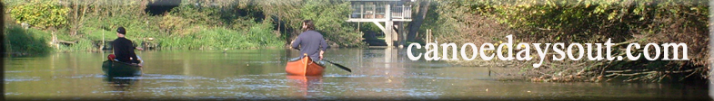
The launch place is the site of an old ford causeway. The Thames is too deep to ford here now. There is a little mud, but the bottom is hard pebbles even at low water.
Launch before low water to go downstream or before high water to go upstream.
General
Description - Launch about 1.5 hours before low water at London Bridge on a neap tide. I started late at 50 minutes before low water.
Paddle downstream, ideally just to the right of the centre of the river to obey the "keep Right" rule and to make most use of the current.
Initially on Sunday there were many rowers, all ignoring the "Keep Right" rule. The numbers dropped off quickly after Putney bridge. The river was then very quiet until after Lambeth bridge where tourist boats started to appear.
I got to about Waterloo bridge with the current. As the current turned upstream I went in to the bank to avoid it. However within 20 minutes the current turned from 1 knot downstream to 2 knots upstream. I turned round then, at Cannon Street, and went over to the north bank for the return.
On the way back keep outside the yellow warning buoys off the Houses of Parliament, or you may be treated as a terrorist suspect, seriously.
Tidal current reduced as the river widened outside central London.
I stopped at Putney bridge on the south bank for a toilet & refreshment stop. If you do stop remember the tide is now rising reasonably fast and boats must be left well out of the water.
Exit point is the same as the entry point, except that the water is now much higher. Exit is easy, although slightly muddy.
The trip involved about 4 hours paddling in GP slalom kayaks. Total distance was about 19.5 miles, but current assistance made this feel like only 12 miles. There was a surprising amount of turbulence under and down current of the central London bridges. Wash from tourist boats was also significant under the bridges and if you go too close to the shore. Canoes must keep a good all round look out in central London and try to avoid the large powered craft. (route)