How to get there - From the crossroads in the centre of Malton follow the signs to Old Malton B1257. After about a mile park opposite the Royal Oak pub (map)
Suggested Launch Site - Easy launching from the common land in front of the Royal Oak pub, upstream from St Mary?s church.
General
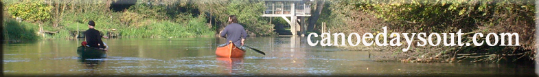
Description - About 8 miles of easy canoeing without any obstacles to Kirkham. (route).
You can leave a car in the public car park at Kirkham Priory (map) but please finish on the right bank after the bridge and load from the stile just south-west of the bridge. This stretch of river has been closed to powerboats since the protracted dispute in the 1980s between the Yorkshire Derwent Trust, which wanted to repair the locks and reopen the navigation, and landowners and conservationists who wanted to keep it for fishermen. There is still some dispute over canoeists right to paddle, but I've done this stretch many times without being challenged.
The 11 miles below Kirkham down to Stamford Bridge are also lovely but there are three obstacles on that section. Kirkham and Howsham weirs are both easy to portage but Buttercrambe weir is tricky. You are pretty much forced through a private garden where I have been challenged.
You can save two miles of canoeing through Malton by launching from the left bank just in front of the health centre about 100 yards below Malton iron bridge (the downstream of the two Malton bridges) (map).
The York to Scarbrough railway line follows the river valley, but trains no longer stop at Kirkham, so it cannot be used for circular tours.